St. Louis Faces Record Heat, Transitioning to Storms Before Weekend Cool Down
St. Louis is set for record-high temperatures in the mid-90s today and tomorrow, followed by scattered showers and storms from Wednesday through Friday morning. A significant cooldown is expected by the end of the week, bringing highs into the mid-to-lower…

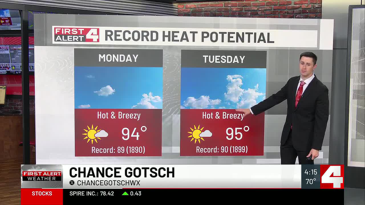
 St. Louis, MO, October 12, 2026 — St. Louis residents are preparing for a significant shift in weather patterns, beginning with extreme heat and culminating in a substantial cooldown by the weekend. The region is currently experiencing temperatures forecast to reach record highs in the mid-90s for both today and tomorrow.
Following the peak of the heatwave, forecasters anticipate a change moving into the latter half of the week. Scattered showers and thunderstorms are expected to develop and persist from Wednesday through Friday morning. The exact timing and intensity of these precipitation events remain subject to meteorological conditions.
The forecast indicates a dramatic temperature drop by the time the weekend arrives. A significant cooldown is projected, with high temperatures expected to fall into the mid-to-lower 60s. This marks a considerable contrast to the record-breaking heat experienced at the beginning of the week.
The transition from extreme heat to potential storms and then to cooler conditions highlights a dynamic weather system affecting the St. Louis area. Residents are advised to monitor local weather updates for the most current information regarding temperature forecasts and potential severe weather advisories.
Story summarized from the original created by Chance Gotsch on www.firstalert4.com, see more information here.
Media gallery